
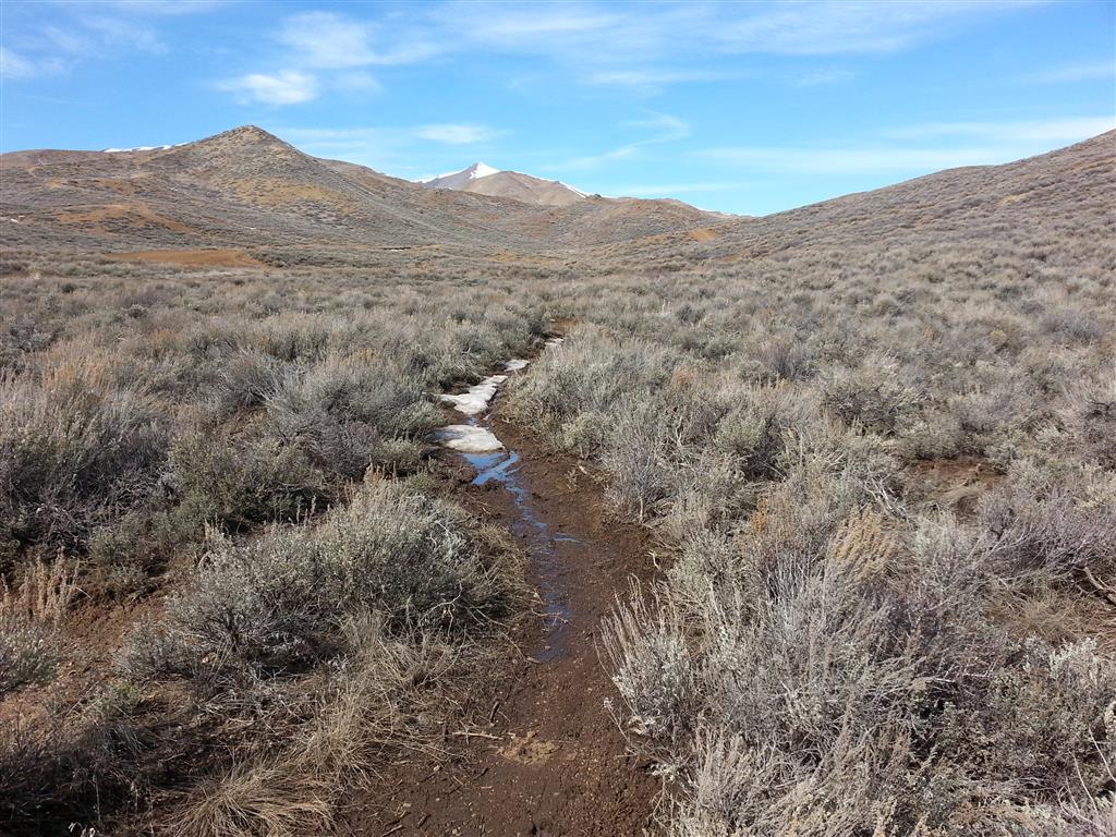
Conditions can for from “good” to “no-go” quickly during mud season.
While old man winter could return with a vengeance at any time, lately we’ve been experiencing warm temps and dry weather. With the sun shining, many of us are looking for places to ride a bike or go for a walk. I’ll describe some available options a little later on, but first, a few words about muddy trails.
Mud season is here, and with it comes temporary trail closures. We close trails at this time of the year because wet trails are easily damaged by traffic. Walking off trail during mud season is also hard on the landscape, as vegetation is especially vulnerable to damage when soils are soggy. Additionally, when people travel on wet trails, the trails tend to get widened. Widening occurs as people gravitate toward the sides of the trails, where things are a little less icky.
If you are on an open trail where you encounter a wet area, stay on the trail. If you are biking, stop and carry your bike through. Everyone should walk right down the middle of the trail to minimize his or her impact. Don’t widen the trails; help keep our singletrack single.
You may feel that a particular trail that is closed can support your walk or ride, but please heed the closures. While an area may support your travel at the time of your initial passing, your later return may find conditions to have changed dramatically. As the day progresses the conditions along the trails are changing. As you travel deeper into a closed area you may find that the trail conditions deteriorate to the point of finding yourself in a big mess. Turning around makes a mess, going forward makes a mess. So please heed all closures.
Well then, where does one go for a hike, run, or ride? Here are a few suggestions:
Living in Ketchum, one of my favorite ways to get some fresh air is to jump on my town bike for a ride around Elkhorn on the paved path. You can get in a good bit of riding if you head up the many draws and drainages in the area. Another way of adding length to this ride is to tack on some miles on the paved Trail Creek Road, or by heading up wide-shouldered Highway 75.
In Hailey the dirt/gravel Quigley Canyon Road is dry and supporting a lot of use from dog walkers, runners, and bike riders. At last check, the conditions deteriorated about a mile east of the pond.
Hailey’s Toe of the Hill Trail is dry and open.
West of Hailey, in Croy Canyon, Democrat Gulch Road is closed to automobile traffic, but it can be used for a hike, run, or as part of a bike ride. Please keep in mind that all of the trails that branch off of Democrat Gulch Road remain closed at this time.
The reconstruction of the BLM’s Croy Trail Network is scheduled to commence on April 20. The BLM has hired IMBA Trail Solutions to rebuild the trails. I’ll be helping to organize and lead volunteer trail work in support of the project, so stay tuned for ways to help.
The east end of Bullion Connector Tr. is closed at the Croy Trailhead.
Further out Croy canyon, the Croy Trailhead is open for parking, restroom access, and to allow access to the motocross track. Here, at the trailhead, the east end of the Bullion Connector Trail is closed due to wet conditions. The west end of the trail, accessed off of Bullion Gulch Road, is open for 1.3 miles; more on that in a second.
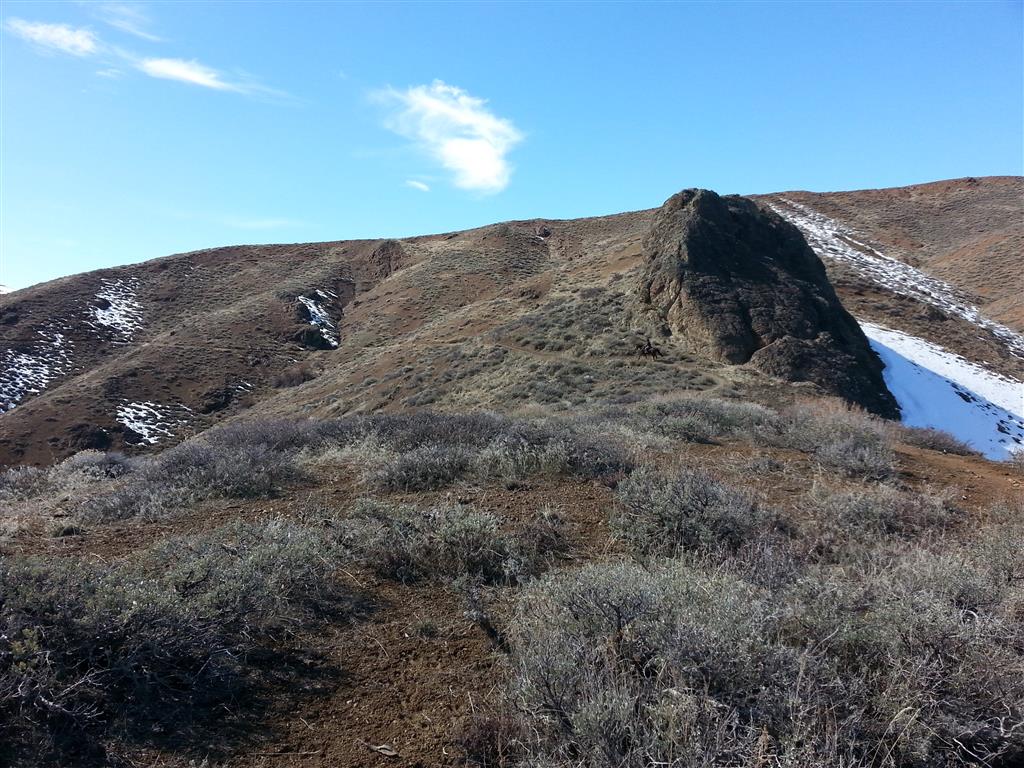
West of the Croy trailhead there are additional dirt roads worth exploring. I was out on Rock Creek Road about a week and a half ago. I was able to do a short out-and-back trip on it at that time.
The Bullion Gulch Road is open, but you will need to turn around where conditions deteriorate, which at this time is about 1.5 miles up the road. Here, at a wide spot in the road, the Hidden Valley Trail heads west and is snowy, wet, and closed. To the east, the Bullion Connector Trail is dry and open for 1.3 miles for a little out-and-back singletrack opportunity. Please turn around at the closed sign.
The west end of the Bullion Connector Trail is open for 1.3 miles. Access it from Bullion Gulch Road.
Slaughterhouse Canyon Road, east of Bellevue, is dry and supporting traffic for 3 miles before the route becomes muddy. Muldoon Canyon Road is dry for about 5 miles east of Bellevue.
There many other options available for road-based recreation opportunities in the valley. Please feel free to drop a comment in the space provided here if you’d like to share your own ideas on good places for rides, runs, and hikes. If you would like additional information, or want to contact me directly, you can email me at cleman@bcrd.org, or text/call me at (208) 720-7713.