BLM Croy Trails Reopened
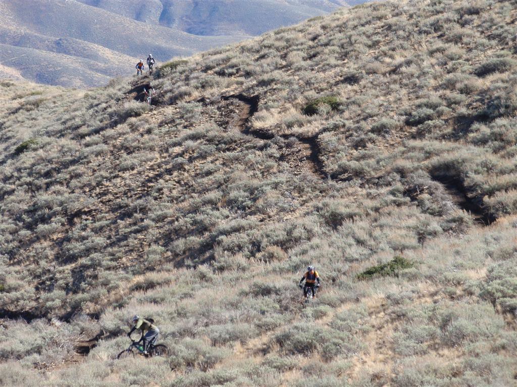
The BLM has reopened the Croy Trail System west of Hailey. About half of the 18.5-mile long trail network was impacted during the 2013 Beaver Creek Fire. Subsequent storm events caused extensive erosion that brought volumes of soil down onto the trails. The BLM hired the International Mountain Bicycling Association to repair the trails. BLM crews and volunteers from the community performed finish hand work behind the contractor’s machines. The work took seven weeks to complete.
The trails are designed to best accommodate beginner and intermediate level mountain bike riders, but they are open to all non-motorized users. A small portion of the trail system is designed to accommodate advanced skill-level mountain bike riders. Additionally, the 2.7-mile Bullion Connector Trail, and the 6.2-mile Hidden Valley Trail, are open to motorcycles.
Trail users can expect variable conditions on the recently reopened trails. While most of the trails offer a firm footing to trail users, other areas of the recently reworked trails are soft and may pose a hazard to those not anticipating variable conditions. Some of the trail system’s bermed (banked) turns are especially soft. The BLM describes that moisture and compaction are needed before the trails can set up, so the trails are not recommended for equestrian use at this time.
The main access to the trails is at the BLM’s Croy Trailhead, which is 3.7 miles west of Hailey on Croy Creek Road. Look for a small street sign marking Trailhead Road on the right/north side as you head out. The trailhead includes a large parking lot, a restroom, and a trailhead kiosk with maps of the trail system. You can also access the trails from Bullion Gulch, or from the Rotarun Ski Hill parking area. People driving to the trails are asked to please use either the trailhead, or the accesses in Bullion Gulch to get to the trails. People can choose to drive to the access near the Rotarun Ski Hill parking area, but they are asked to please consider an alternative approach in order to help keep vehicular traffic to a minimum through the surrounding subdivision. Maps and descriptions of the trail system are available at the BCRD Summer TraiLink site.
Galena Sporting New Trails
More miles of trails are coming online at Galena Lodge. The BCRD, Galena Lodge, and the Sawtooth National Recreation Area have teamed up to develop a system of mountain bike optimized trails at the lodge. So far they have built about 17 miles of the 47-mile trail system. Just opened is the new Rip and Tear Trail. This route swoops through an area of terrain that is noted for its rolling, fun, and rather demanding character. In winter, the Nordic version of the Rip and Tear Trail has been known to bring smiles to more adventurous and skilled cross country skiers. Now the winter version of the trail has a summer cousin we can play with. Head up to the lodge and pick up a map of the new offerings in the bike shop. Galena also offers guided tours of the trails, mountain bike rentals, and mountain bike instruction.
Lupine Trail Opens on Baldy
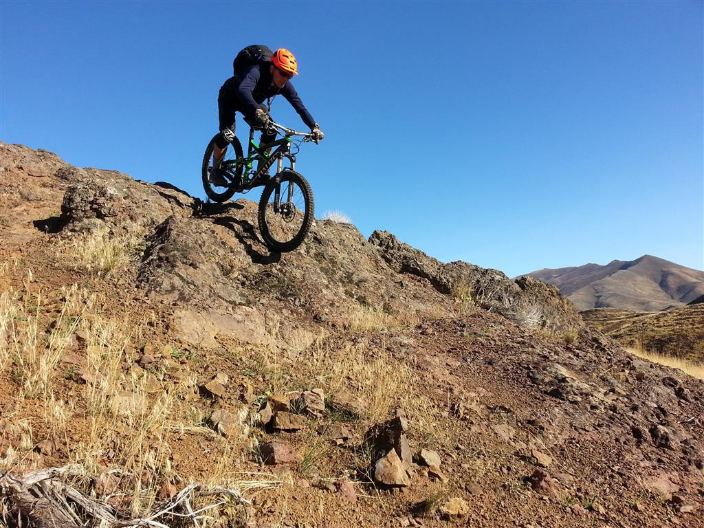
The Sun Valley Company has recently opened a new downhill mountain bike trail on Baldy. The Lupine Trail was constructed late in summer of 2014 by the Sun Valley Company and its contractor on the project, the International Mountain Bicycling Association. The trail is open exclusively to downhill bicycle traffic. The Lupine Trail is a 1.7-mile long intermediate mountain bike trail that drops about 600 feet over the course of its length. The high point, and entrance to the trail, is at the saddle that is just below, and west of, the Seattle Ridge Lodge.
Cyclists riding the lifts can get to this trail by getting off at the top and riding over to the top of the Broadway Trail. Riders will then follow the Broadway trail down to the top of the Lupine Trail. Riders climbing up Baldy on their bikes can also reach this trail. They can climb on the Bald Mountain Trail to the top of the mountain, then access the top of the Broadway Trail, to descend to the top of the Lupine Trail. Riders using the Bald Mountain Perimeter Trail #328 (Warm Springs or Cold Springs trails) to pedal up Baldy will climb to a saddle where the Warm Springs and Cold Springs sides of the Perimeter trail meet up, and where the bottom of the Broadway Trail is intersected. Riders will then climb up the lower reaches of the Broadway Trail to get to its intersection with the top of the Lupine Trail.
Progress on Osberg Ridgeline Trail
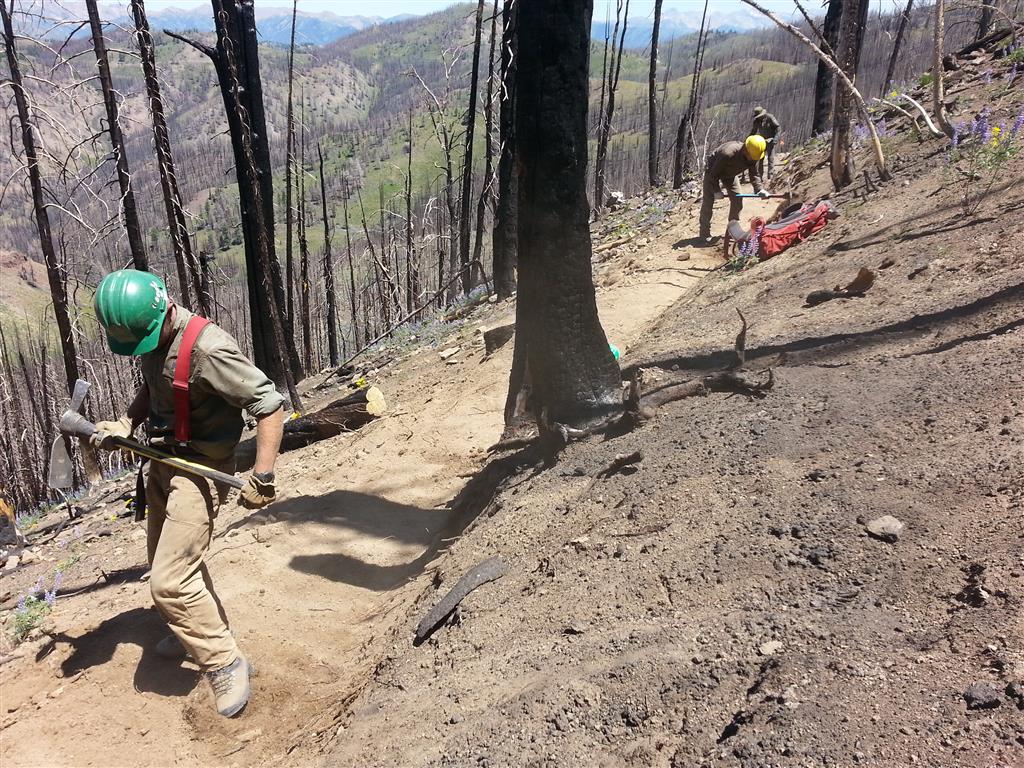
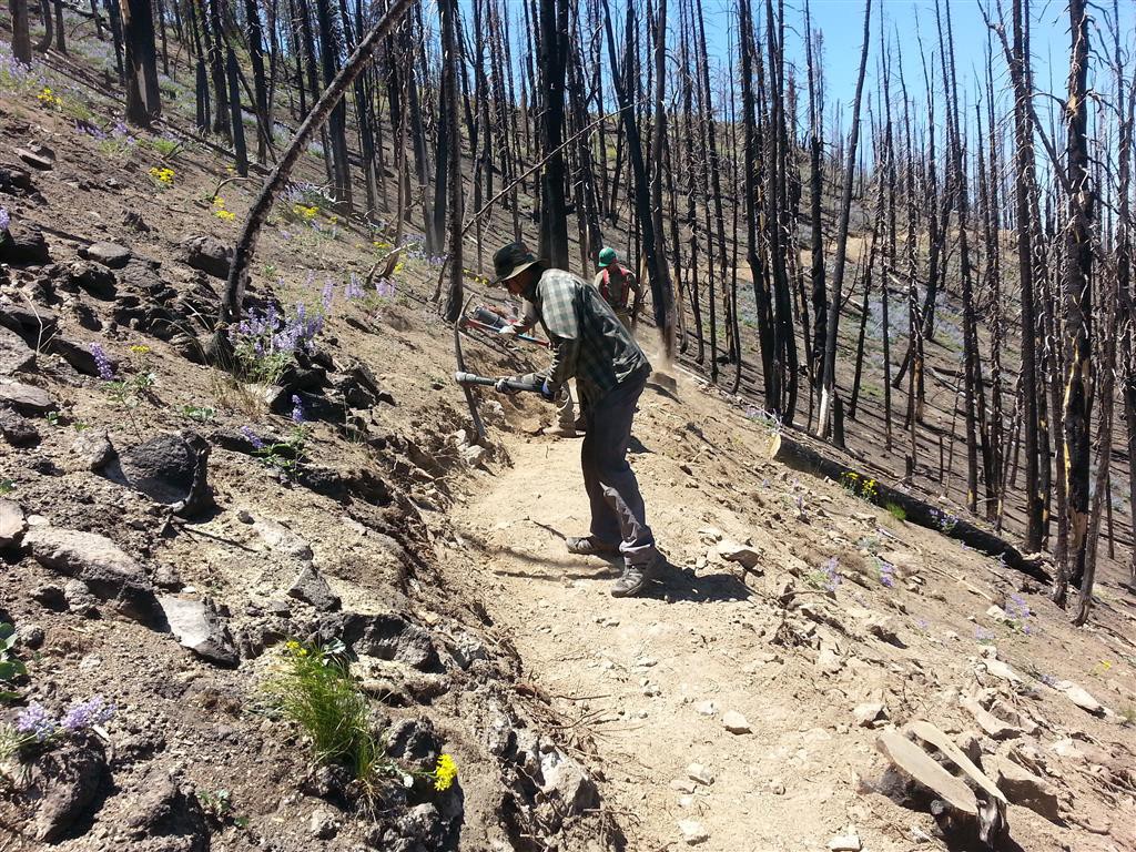
The Ketchum Ranger District of the Sawtooth National Forest has been making solid progress on the reconstruction of the Osberg Ridgeline Trail #147. The 2013 Beaver Creek Fire, and subsequent storm events, had a devastating impact upon the trail. Much of the trail was covered by debris slides and many significant washouts occurred.
The KRD Trail Crew, headed up by Trail Superintendent Renee Catherin, is hard at work on the reconstructions. Part of the crew is on the west end of the trail; near the trailhead, which is located at the end of Baker Creek Road. Here, they are building some sizable bridges that will span the large gullies that formed during after-fire rainstorms. On the east end the KRD is working with youth crews from the Idaho Conservation Corp on reroutes and other reconstructions. When asked when the trail might be reopened Catherin said she was shooting for the end of August. “We’re bringing more youth corp crews on soon, so that will help. I feel confident that we’ll be get ‘er done this season,” she said.



1 comment for “July Trails Update”