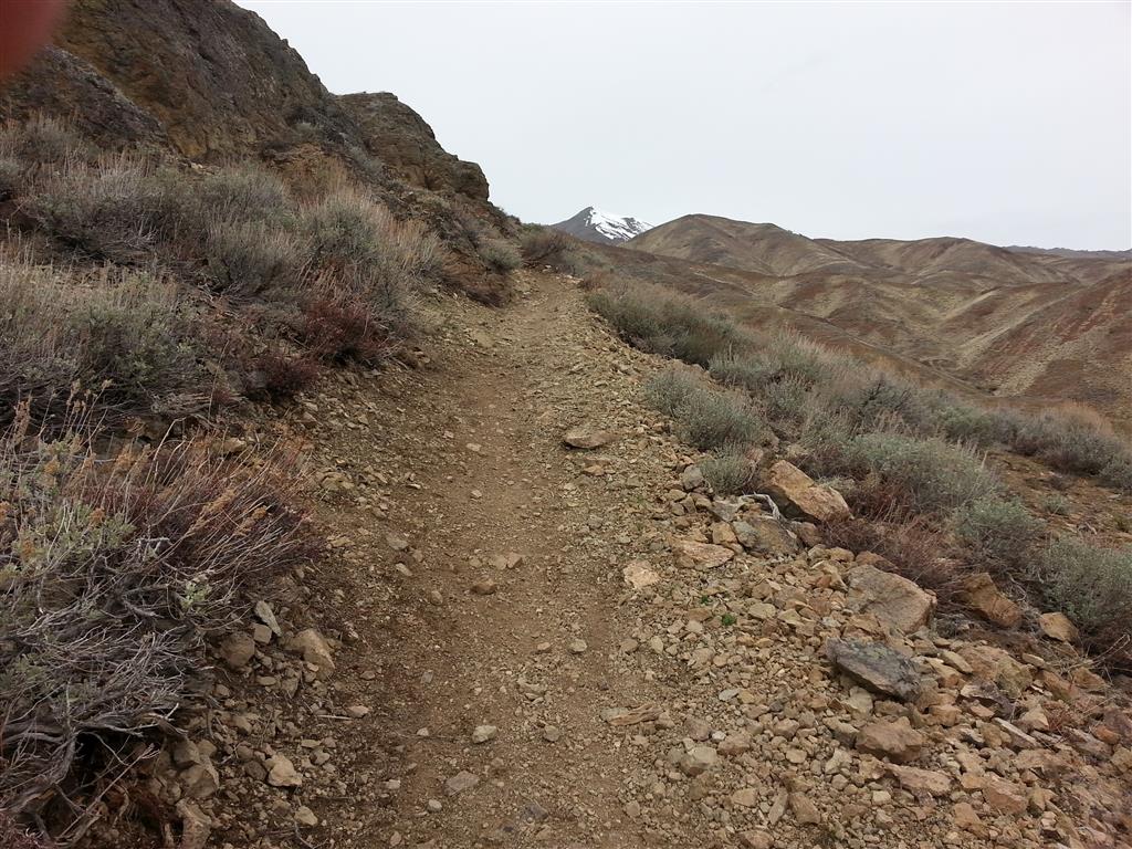
Bullion Connector Trail. This stretch was under a foot of icy snow a week ago. (Pardon the thumb in the shot:)
A couple of trails west of Hailey have been opened. The Bullion Connector and the Hidden Valley trails are open. All other trails within the Croy Trail Network remain closed at this time.
The Bullion Connector Trail’s eastern terminus is at the Croy Trailhead (3.7 miles west of Hailey on Croy Creek Road). Most of the trail is dry between the trailhead and Bullion Gulch Road. There are a couple of icy and snowy patches where the trail passes across a more north-facing slope above the trailhead. Please walk in the center of the trail to pass through areas where snow, ice, and mud remain. Bicyclists please carry your bikes through. Staying on the trail helps avoid trail widening.
The west end of the 2.6 mile long Bullion Connector Trail is at Bullion Gulch Road. Directly across the road from the Bullion Connector is the start of the Hidden Valley Trail. The route around Hidden Valley makes for a 6.2 mile outing.

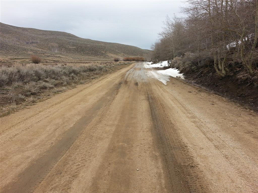
Hidden Valley Trail. The southwest portion of the loop includes some longer stretches of snow.
There are still some short stretches of snow along the Hidden Valley Trail, but the vast majority of the trail has a sunny aspect. The area continuing to hold the most snow is in the southwest area of the loop. Stay on the trail. Walk right down the center to help minimize your impact.
I heard that some people had success riding the Hatty Gulch Loop last weekend. The route utilizes Rock Creek Road, two-tracks through Hatty Gulch, and Croy Creek Road to form a loop that is about 14 miles long.
The Rock Creek Road portion of the Hatty loop is quite south facing, so it is probably dry. Much of the lower, more easterly portion of the two-track road running through Hatty Gulch has an open, exposed character, so it too is likely dry. As one travels further west through Hatty Gulch the route swings more toward the north. Here, the route passes through the old Hailey Gold Belt region, and up and out of the drainage. This shadier, more north facing part of the loop may still be holding snow.
Croy Creek Road. The road, just east of Richardson Summit, is still a bit snowy. icy, and wet.
At the west end of Hatty Gulch, where the two-track meets Croy Creek Road (about a quarter-mile northeast of unsigned Richardson Summit), the Croy Creek Road remains somewhat snowy and wet. These conditions quickly give way to a dry road surface as you head east to complete the loop.
The Ketchum Ranger District has issued a couple of early season trail reports. KRD Trail Specialist Renee Catherin compiled the reports and took the helpful photographs featured in them. She describes several short out-and-back trips that can be taken on some of the district’s trails and dirt roads at this time of the year.
Renee also offers information about places on the Ketchum Ranger District that remain available for over-snow travel. In the coming weeks we can expect some trails that have previously been open to over-snow travel to be closed as muddy conditions develop. She also reminds us that, “at this time of year, its especially important to make good decisions about when to turn around.” Good advice.
Here are links to the most recent Ketchum Ranger District trail reports:
March 17, 2015 Ketchum Ranger District Trail Report
March 2, 2015 Ketchum Ranger District Trail Report
1 comment for “Bullion Connector and Hidden Valley Trails Open”