The reconstruction of the BLM’s Croy Trail Network will begin in earnest early next spring. The BLM recently awarded the work of rebuilding the trails to the International Mountain Bicycling Association’s Trail Solutions program.

The Croy trails will be brought back into shape in 2015
After having been severely impacted by last year’s Beaver Creek Fire. Many of the BLM trails within the Croy system remain temporarily closed. While the scheduling of the repair and improvement of the trails is good news, it is likely especially welcome news to the people who find the trails most accessible, the people who live in the towns of Hailey and Bellevue.
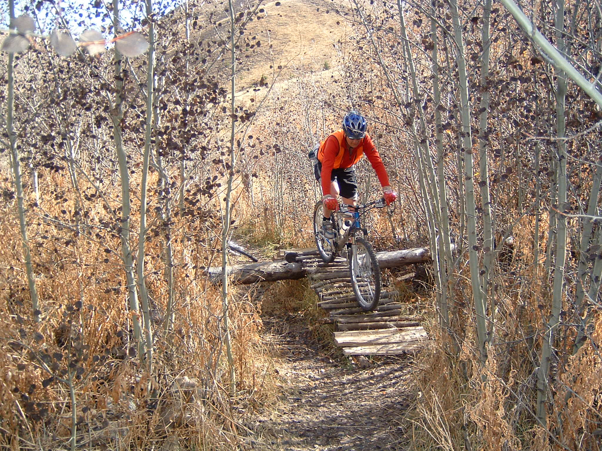
Not all of the trails that make up the Croy network have been impacted by the fire and closed. The Bullion Connector Trail and the Hidden Valley Trail remain open and are in good shape at this time. If you haven’t been to the Croy Trailhead to explore these trails I highly recommend that you get out there this fall. Their open, sunny character is especially welcome as the weather starts to cool.
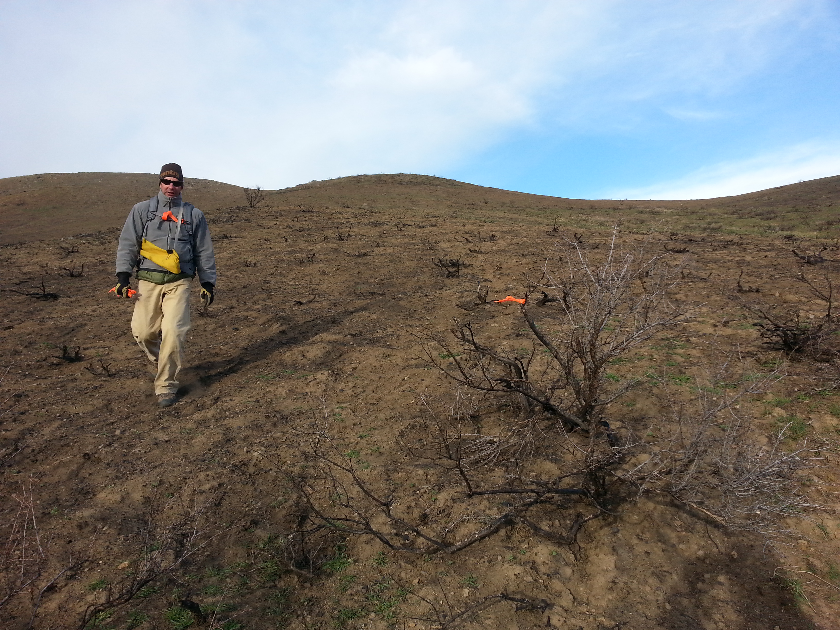
BLM’s John Kurtz working up plans for Croy trails rebuild
Regarding the trails that are closed, we need to continue to stay off of them. My own observations of the trails, and that of the BLM, suggest that compliance with the closures has been very good. This is helpful to the BLM, as it allows them to stay focused on the many tasks associated with reopening the trails. Instead of replacing missing closure signs, getting the word out about the need for compliance, and involving law enforcement, they have been able to concentrate on arranging for the repair of the trails.
Besides being helpful to the efficient work of our area land managers, staying off of the trails helps keep everyone safe. In their current state the trails aren’t safe for travel. One minute you might be moving along just fine, the next might find you getting bogged down in deep deposits of soil and rock.
Another important reason for the trail closures is to help reduce the spread of noxious weeds. The Croy Trail Network receives approximately 20,000 visits per year, and even if only some users inadvertently transport seeds on their bikes, shoes, dogs, or clothing it will likely cause noxious weeds to spread into new areas. Weed seed transport is always a concern to land managers, but it is of special concern following catastrophic wildfires. If new areas of noxious weeds get established on the trails now they may be difficult to control.
In addition to the earlier stated reasons for closing the trails, another reason is to give the fire impacted lands one year to stabilize. To the BLM, it seemed unwise to quickly rebuild the trails. Giving the land a little time to settle out might make the difference between the successful reconstruction of the trails and failure.
A portion of the Lambs Gulch Trail prior to the fire – much of the trail is on private property
Some of the Croy trails cross private property and there are no easements in place that allow the guarantee that these trails will be rebuilt. Abiding the closure helps demonstrate to the landowners that trail users respect private property and want to do everything possible to get the trails rebuilt. Rebuilding the trails that cross private property will require the establishment of formal easements. The BLM is in the process of working with the landowners to address this access issue, and abiding the closure helps support these efforts.
Fall brings nice temperatures and beautiful colors to our hikes and rides, but shorter days often have us searching for outings that are closer to home. Besides the two trails that remain open on the BLM Croy Trail Network, there are many other nearby, lesser-used routes that are well worth exploring on bike, horse, or foot.
The Hatty Gulch drainage has long been a popular place for trail and road-based recreation. The area is part of the old Hailey Gold Belt, with mining roads and trails crisscrossing the gulch. Typical of our region, the area is a mix of BLM, State, and private property; so remember to treat the land you are enjoying with respect.
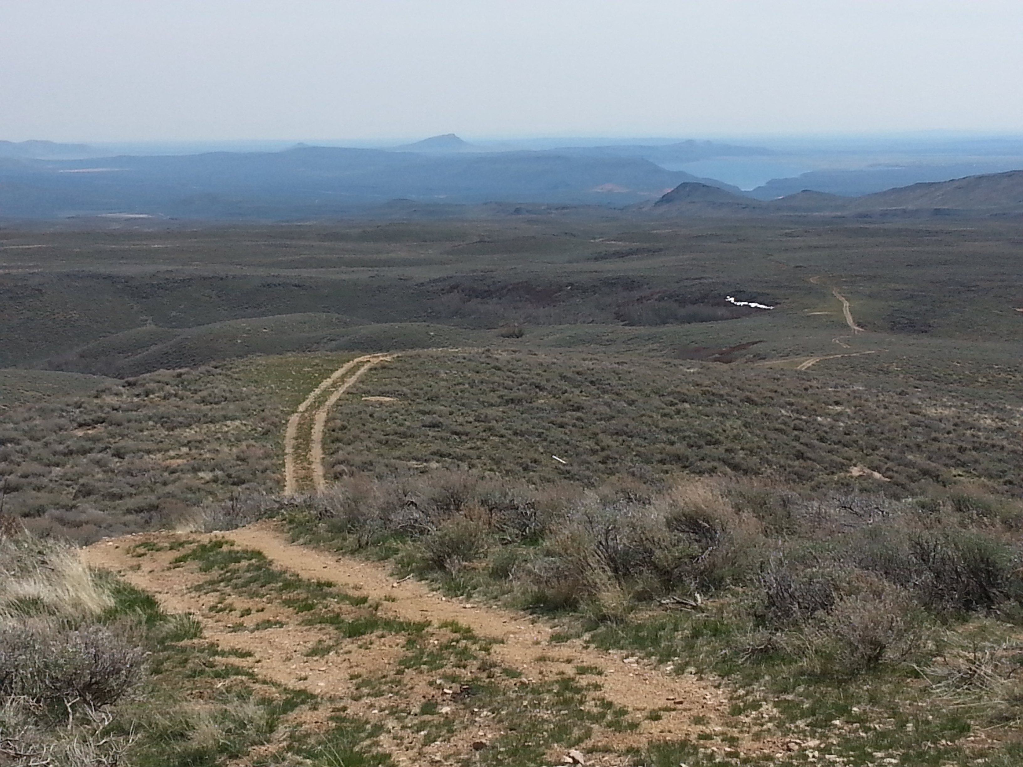
There are miles of two-track roads to explore between Richardson Summit and Rock Creek Road
Just west of Hatty Gulch are some higher bench-lands between Richardson Summit and Rock Creek Road. The place is ripe for exploration. While a number of well-traveled locals enjoy this area from time to time, its really very lightly used. Many of the roads here offer very nice views of the Smoky Mountains, Pioneer Mountains, the Snake River Plain, Bennett Hills, Timmerman Hills, and Magic Reservoir. Often in view to the north is Kelly Mountain. This is a handy landmark for helping to stay oriented. The drainages below Kelly (north of Richardson Summit) are seeing more use this year, as the area contains a number of steep, lonely two-tracks and trails.
The list of options goes on and on, but finding them will take some poking around. While doing so you will need to pay attention to where you are and where you have come from. It’s a good idea to carry a compass and several maps of the areas you expect to be traveling through, as cross-referencing your information sources can be a helpful route finding tool. I think it’s really useful to carry a GPS unit whose operation you are familiar with. At a minimum, such a device will allow you to create a “breadcrumb” path, which, as a last resort, will allow you to backtrack to your starting point.
Phone applications like PDF Maps or Gaia GPS provide users with the ability to download USGS, Forest Service, BLM, and other maps to their phones. Many of these maps include information about property ownership, and in conjunction with your phone’s GPS capabilities may allow you to see your real time location on those maps. Having access to such tools can be useful in helping to determine if you are on Federal, State, or private property.
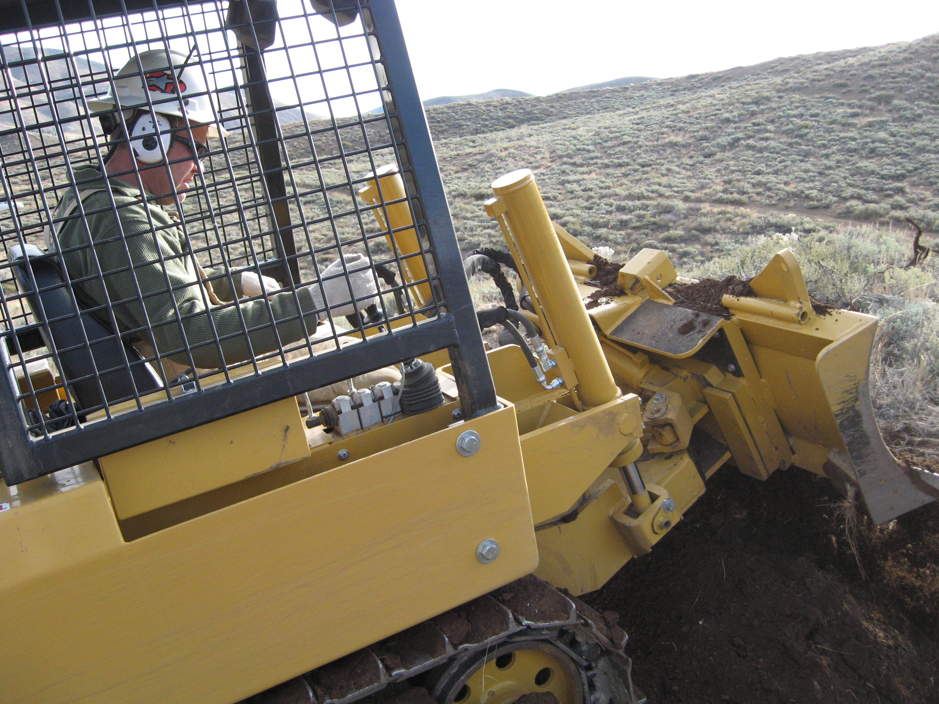
Machine work will certainly be involved in a lot of the heavy lifting
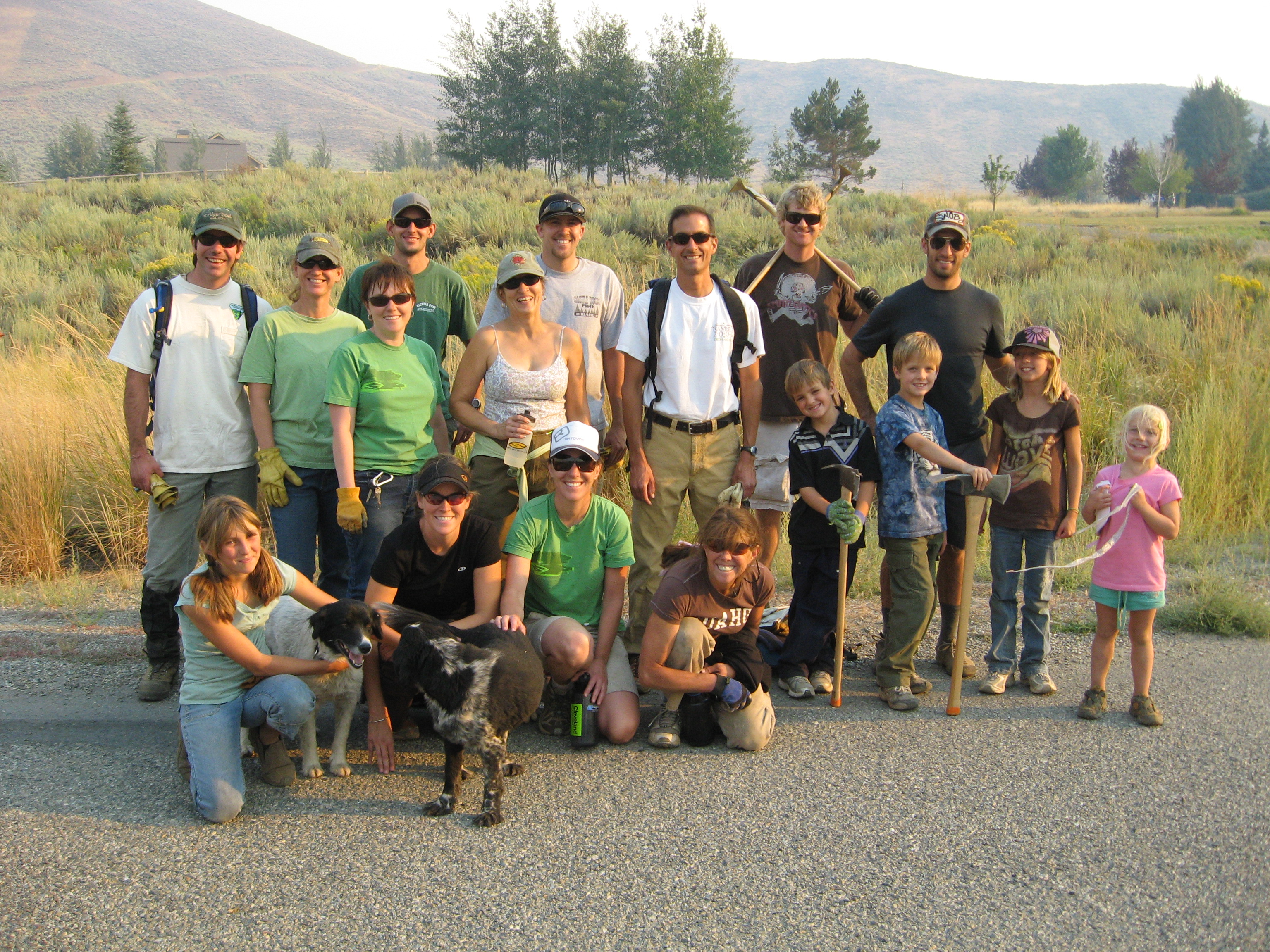
Volunteer hand labor is always an important part of getting work done on our local trails
Other great resources are the many excellent local bike shops and sporting goods stores that cater to our recreation needs. The people who staff these stores are often some of the most expert on what alternative route options are available to us. If you really want to find out what is out there I’d suggest spending some time chatting and getting to know the people working in these stores. Doing so can lead to some of the most memorable and delightful excursions you can imagine.
Shop local, go prepared, and have a great time!
2 comments for “Croy Trails Rebuild Scheduled”